


Integrating Land Parcel Data with Crop Health for Better Decisions
There’s a quiet revolution happening under the surface of agriculture—one that doesn’t involve tractors, fertilizers, or irrigation pipes. It’s about data. Specifically, land parcel data. When combined with crop health analytics, it’s transforming how large agricultural enterprises manage land, resources, and decisions at scale.
Let’s get one thing straight: data alone doesn’t change agriculture. It’s how intelligently it’s connected that makes the difference. And that’s where the integration of land parcel data with crop health insights becomes a game changer.
The Foundation: What Is Land Parcel Data?
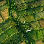
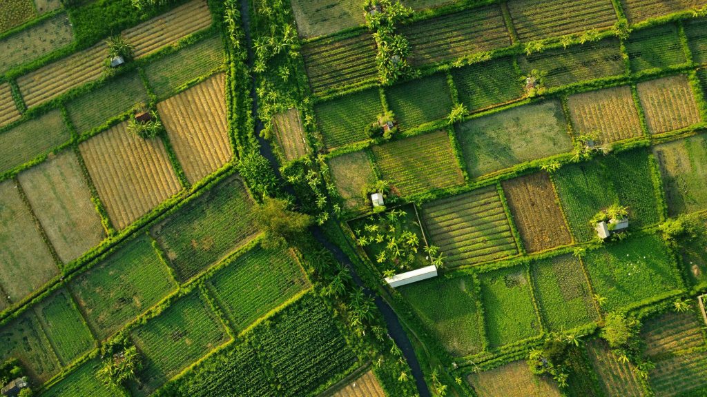
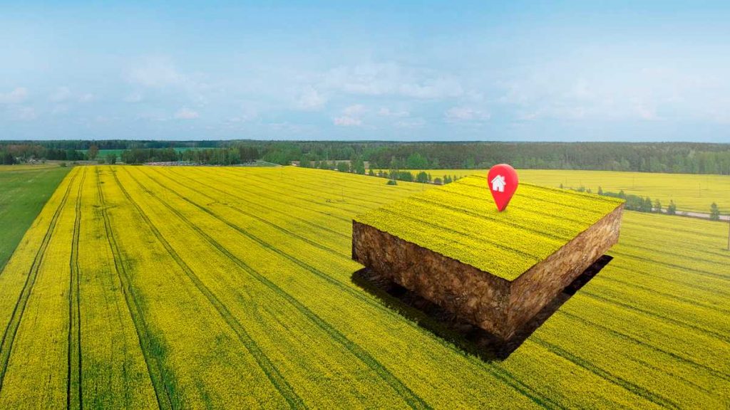
At its core, land parcel data refers to the digital representation of land ownership, boundaries, and attributes. Think of it as the precise, geo-tagged DNA of agricultural land. It tells you:
- Where each plot begins and ends
- Who owns or manages it
- How much area it covers
- What kind of land use it supports
This data forms the foundation for every spatial decision in agriculture—from input allocation to yield forecasting. But when treated in isolation, it’s static—a map with no pulse.
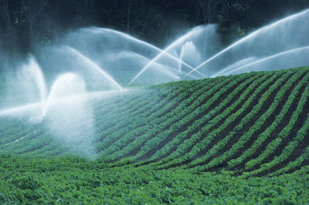
The Missing Piece: Crop Health Data
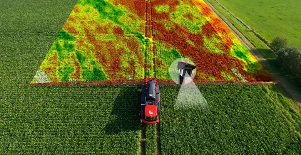
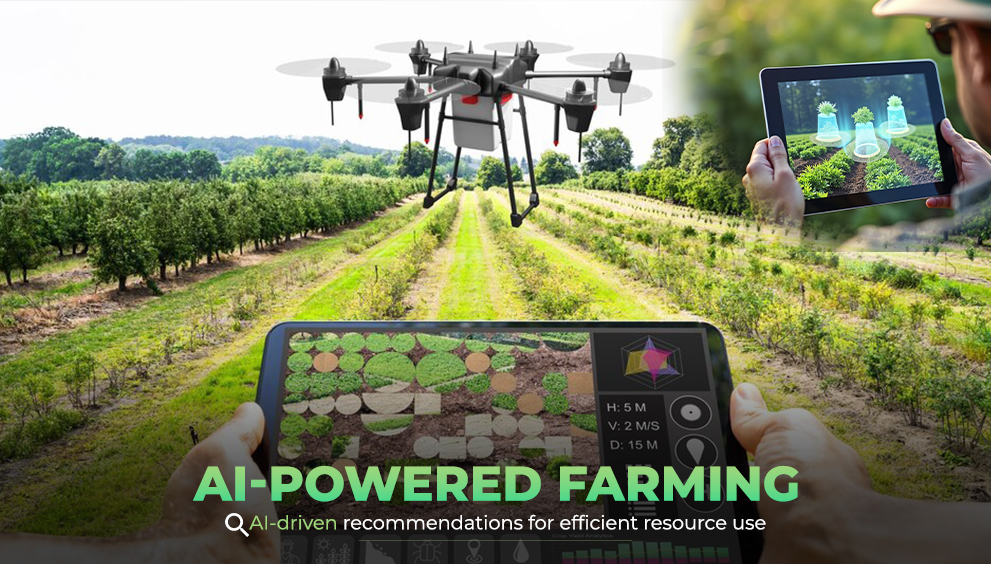
Crop health data, often derived from satellite or drone imagery, adds that pulse. It tracks how the crop is performing over time, revealing stress patterns, disease outbreaks, nutrient deficiencies, and growth trends. Using indices like NDVI (Normalized Difference Vegetation Index) and NDRE (Normalized Difference Red Edge), farm managers can assess:
- Vegetation vigor
- Chlorophyll content
- Canopy density
- Early indicators of stress
While this data is dynamic, it often lacks context. Without land parcel boundaries, health maps are just colorful overlays without ownership or management relevance.
The Power of Integration
Now, combine the precision of parcel data with the intelligence of crop health analytics—and suddenly, the picture sharpens. The integration enables decision-makers to not only see which fields are struggling but know exactly whose land it is, what’s growing there, and how it ties into overall production goals.
Here’s what that means in practice:
- Targeted Action Plans: Identify the exact plots showing low NDVI values and deploy corrective measures specifically for them, instead of making blanket recommendations.
- Efficient Input Use: Optimize fertilizer, pesticide, and water distribution by matching crop condition data with precise land boundaries.
- Performance Benchmarking: Compare productivity and health metrics across owned, leased, or managed parcels.
- Smart Reporting: Generate automated insights per parcel, streamlining communication between field teams, managers, and stakeholders.
- Accountability and Traceability: When each health metric is tied to a legally defined parcel, it becomes possible to track interventions and results over time.
Making Sense of Spatial Complexity
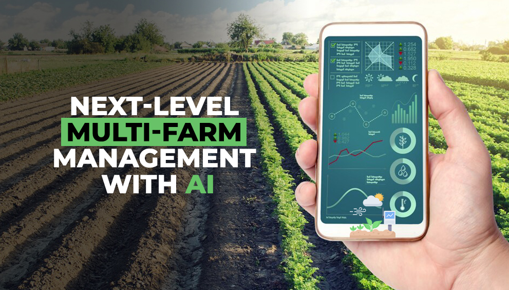
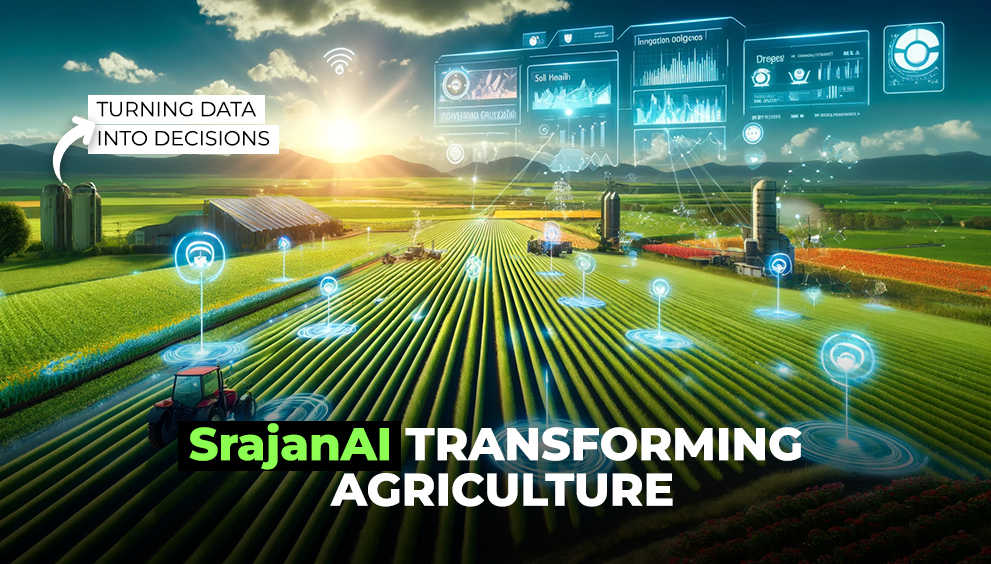
Large agricultural enterprises deal with thousands of parcels spread across multiple regions. Manual monitoring isn’t just inefficient—it’s impossible. AI-driven systems like SrajanAI’s platform simplify this chaos by automatically linking parcel data to live crop health layers.
This automation does more than save time; it creates spatial intelligence. It helps detect patterns invisible to the human eye. For instance:
- A cluster of low-health parcels could indicate irrigation issues in a specific region.
- Consistent underperformance on particular soil types could highlight underlying nutrient problems.
- Seasonal comparisons might reveal whether recurring stress is environmental or operational.
This level of insight enables proactive management—something traditional methods simply can’t match.
Why It Matters for Decision-Makers
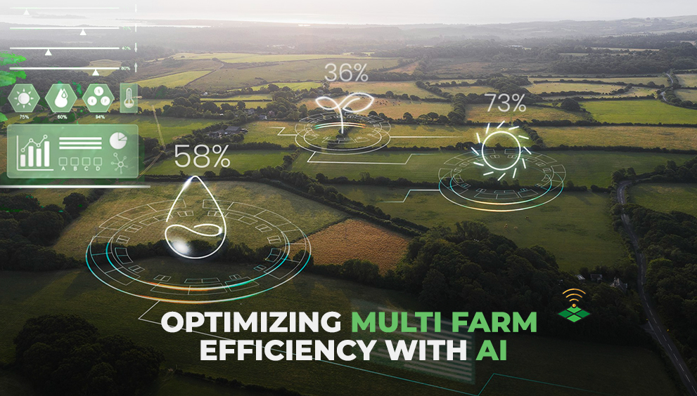
For large-scale operators, it’s no longer about managing farms individually. It’s about managing systems of farms—each with unique variables. Integrating parcel-level data with health analytics allows decision-makers to:
- View portfolio-wide health trends in one dashboard.
- Pinpoint problem zones before they affect yield outcomes.
- Forecast productivity and risks using historical health records.
- Align resource planning with real-time field performance.
The result? Higher accuracy, reduced waste, and decisions backed by spatial evidence rather than assumptions.
The Role of AI and Geospatial Intelligence
Artificial intelligence ties it all together. With models capable of automatically delineating boundaries and analyzing spectral data, the integration process becomes seamless. Instead of manual data entry, AI systems can:
- Detect parcel boundaries from satellite imagery
- Auto-link them to existing land records
- Overlay dynamic crop indices
- Generate parcel-level health summaries
It’s not just convenience—it’s precision at scale. Each parcel becomes a living data point, continuously updated and analyzed to support rapid, informed actions.
The Road Ahead
As governments push for digitized land records and agribusinesses demand higher transparency, the integration of parcel and crop health data will become the backbone of intelligent agriculture. Future systems will likely go beyond monitoring to include:
- Predictive alerts for yield loss or pest outbreaks
- Automated compliance checks for sustainability metrics
- Integration with financial tools for land valuation and credit assessment
This is agriculture entering its analytical era—where every hectare is mapped, measured, and monitored in real time.
The Smart Advantage
In a world where margins are tight and efficiency is everything, connecting land data to crop health is not just smart—it’s essential. It bridges the gap between geospatial accuracy and biological performance. It turns scattered insights into strategic intelligence. And ultimately, it enables agricultural enterprises to move from reactive management to data-driven precision.
Smart decisions start where data layers meet—and land parcel integration is where that intelligence truly begins.