


Geospatial Technology in agriculture
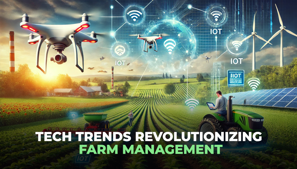
Powering the Future of Smart Farming
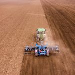
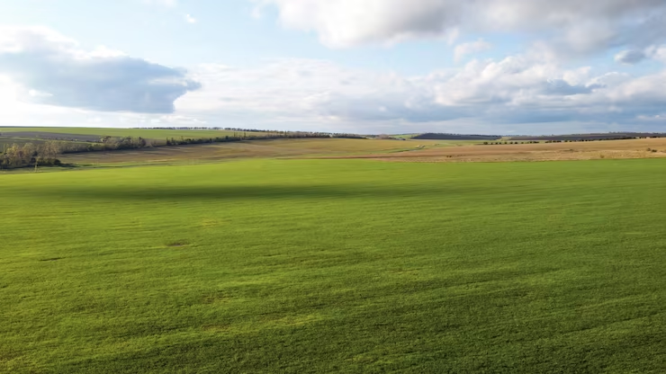
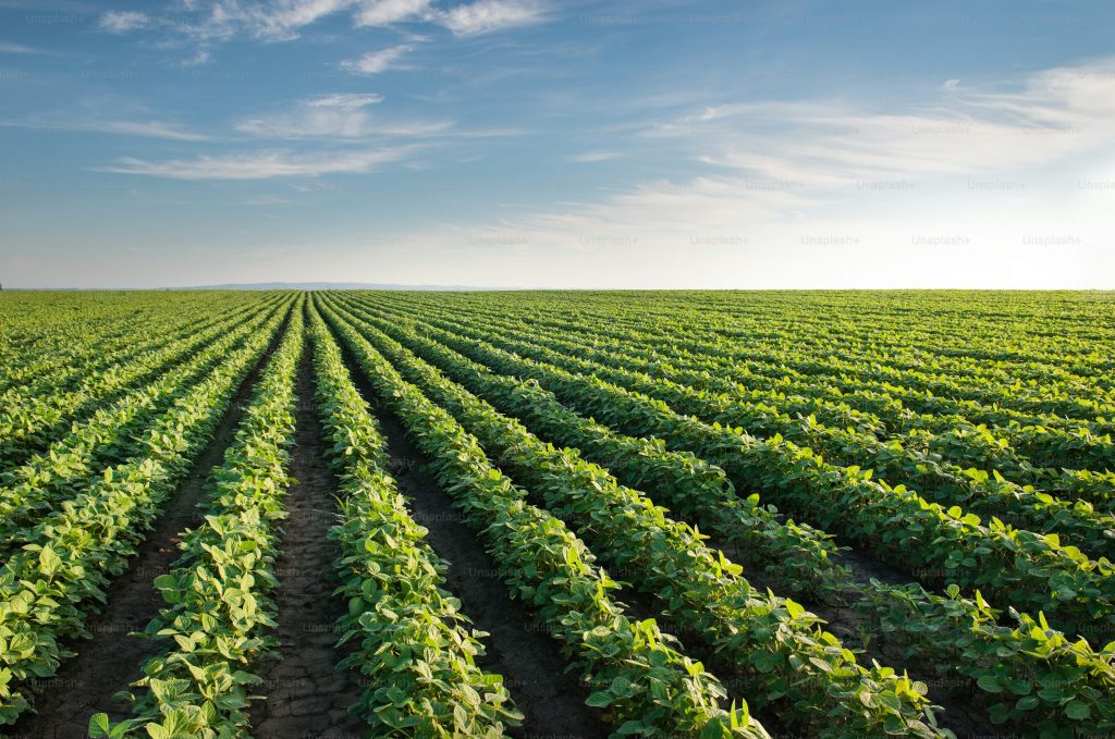
As agriculture grows more complex and data-driven, the need for precise, real-time, and scalable farm insights has never been more critical. Whether managing a single large farm or coordinating hundreds of fields across regions, decision-makers now rely on digital tools that go beyond traditional monitoring.
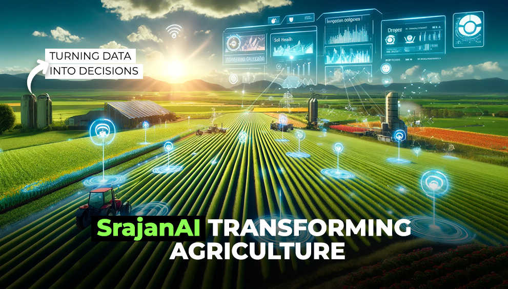
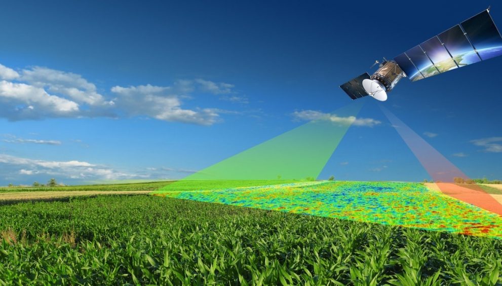
At the forefront of this technological shift is GIS – Geographic Information System. When integrated into agriculture, GIS helps stakeholders visualize, analyze, and act on spatial farm data, leading to improved productivity, sustainability, and profitability.
This blog explores how GIS agriculture software solutions are redefining modern farm management and why they’ve become a key investment for agribusinesses, governments, and food supply chains.
🌾 What Is GIS in Agriculture?
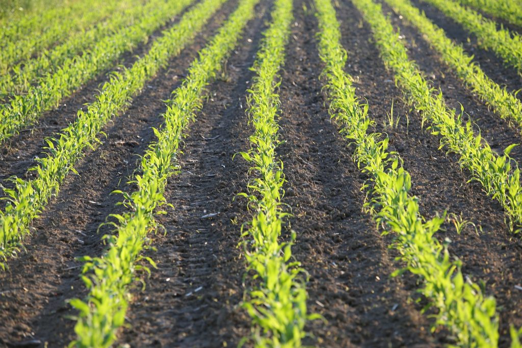
GIS (Geographic Information System) is a framework that captures, stores, and analyzes geographic and spatial data. In the context of agriculture, GIS tools combine location-based information (like farm boundaries, elevation, and soil maps) with agronomic data (crop type, vegetation health, weather, irrigation) to give a complete picture of what’s happening on the ground.
The result is actionable intelligence that supports everything from planting strategies to harvest planning, while also enabling early detection of risks like disease, drought, or pest outbreaks.
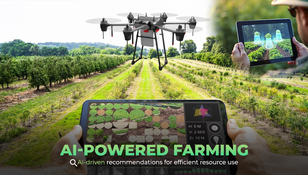
⚙️ Key Features of GIS Agriculture Software Solutions
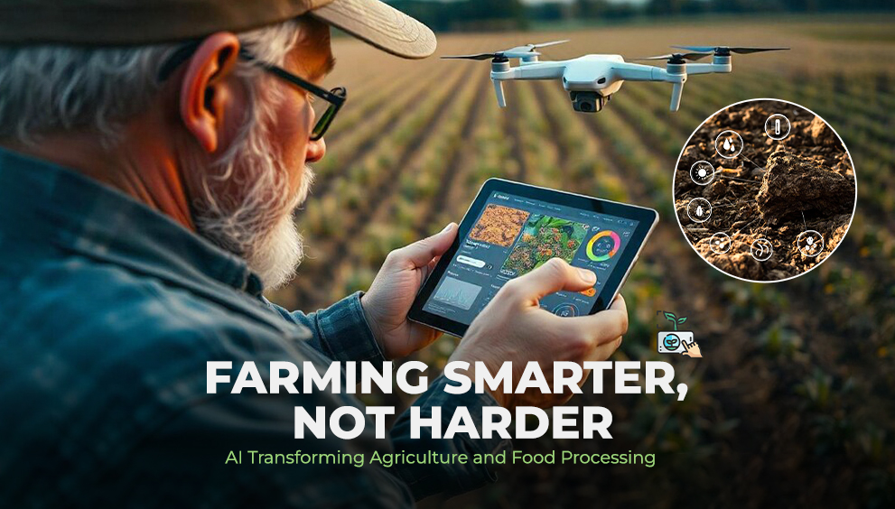
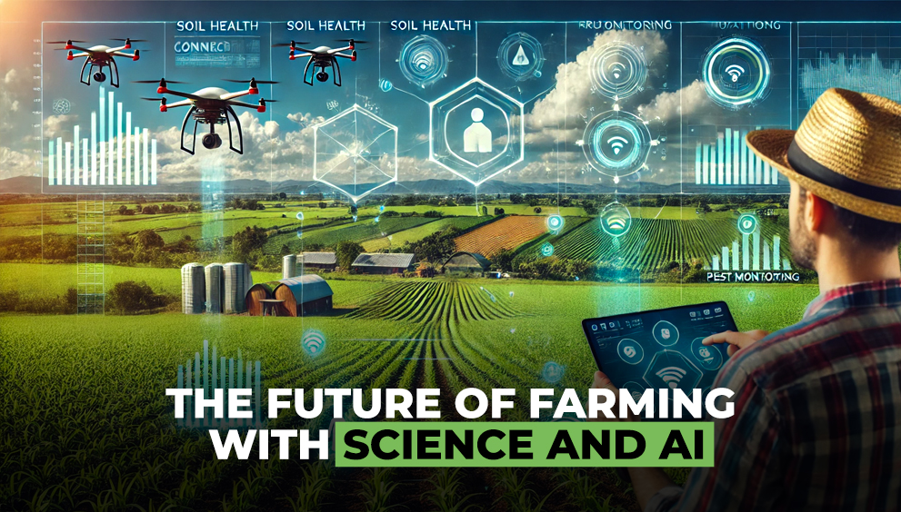
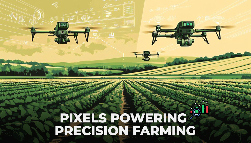
Today’s GIS platforms are far more than mapping tools. They serve as real-time decision support systems, especially when integrated with satellite data, IoT sensors, and predictive models.
Here are some core features:
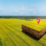
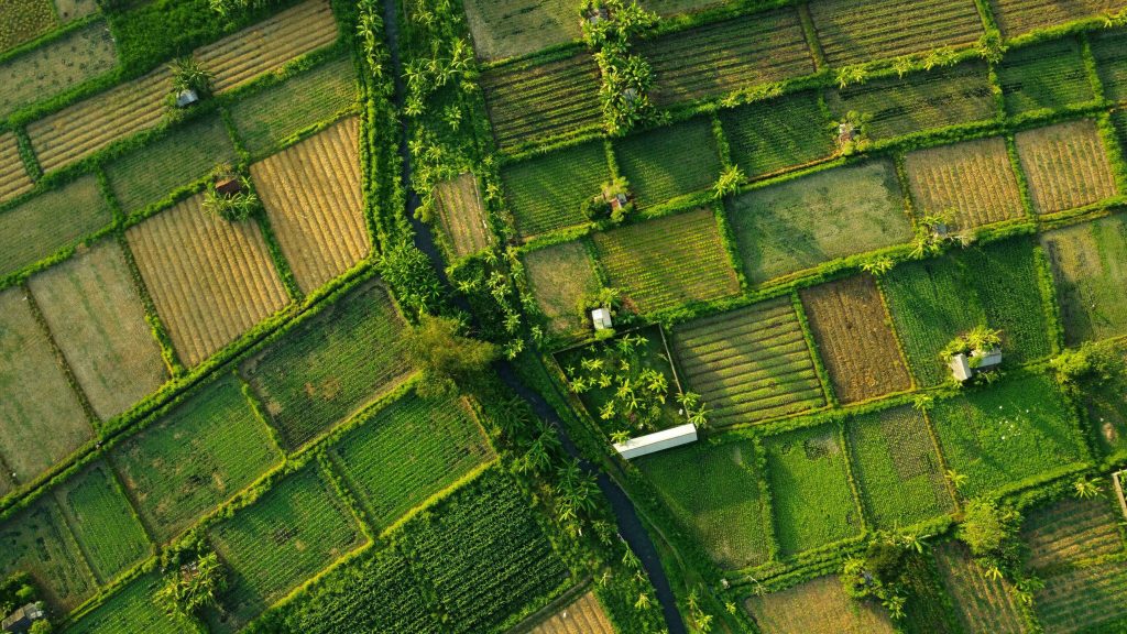
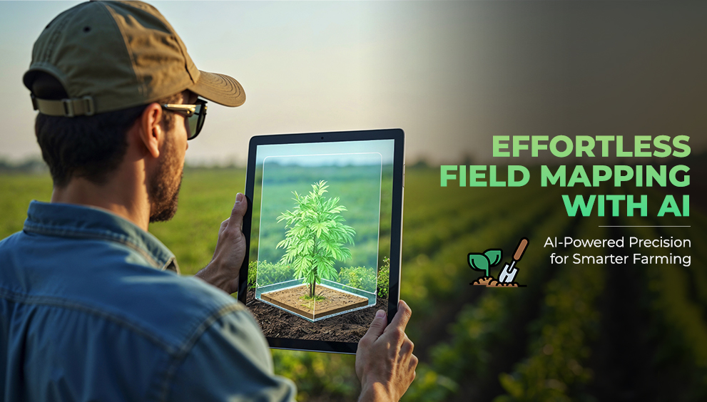
1. Field Boundary Mapping
Define or auto-detect farm boundaries from satellite imagery. This is especially valuable when managing large or distributed farm holdings.
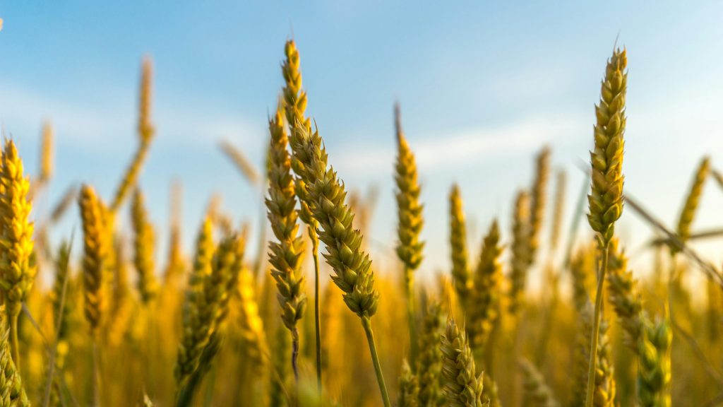
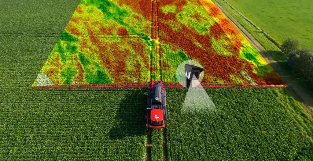
2. Vegetation Index Monitoring (NDVI, NDRE, etc.)
Track plant health throughout the crop lifecycle using visual indices that detect stress before it’s visible to the eye.
3. Live Alerts and Notifications
Receive automated alerts for declining crop health, pest-prone zones, excess moisture, or drought risk — all in real time.
4. Zonal Management
Divide fields into zones based on soil type, crop health, or yield potential. This allows for variable rate applications of fertilizer, irrigation, or pesticides.
5. Weather and Soil Integration
Overlay local climate data (rainfall, wind, temperature) and soil characteristics for holistic field insights.
6. Custom Dashboards and Reports
Visualize trends, export analytics, and generate PDF or Excel reports for operational teams, agronomists, or clients.
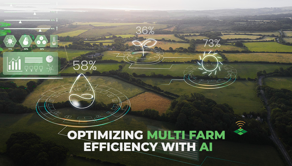
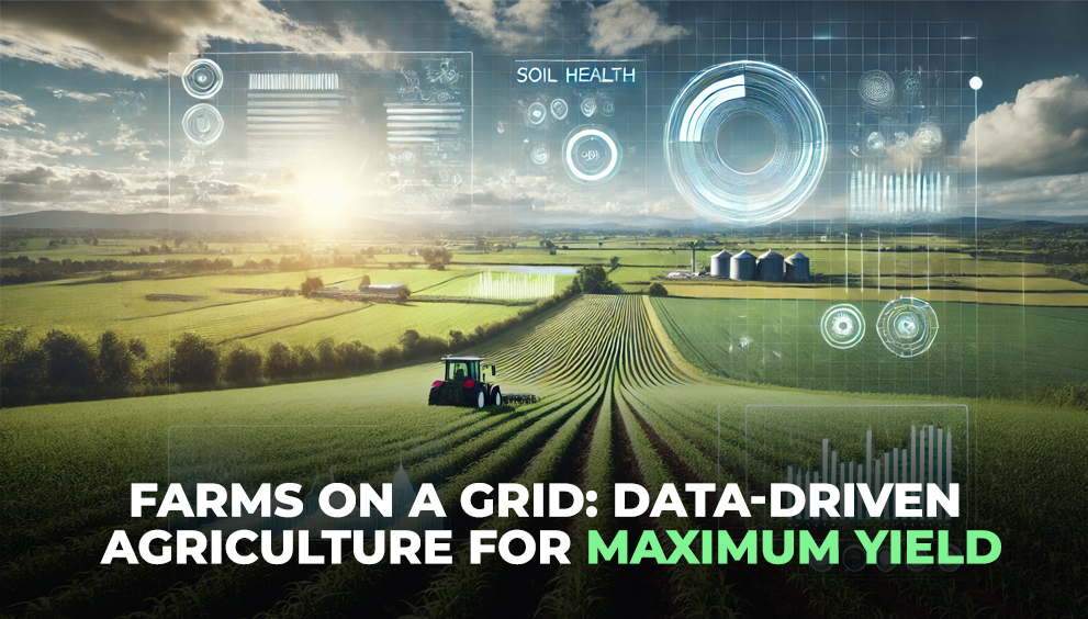
🛰️ How GIS Enhances Farm Monitoring and Planning
GIS solutions simplify complex operations by giving stakeholders a layered, interactive view of all their agricultural assets. Here’s how:
- Centralized Monitoring: View multiple farms across states or districts from a single platform.
- Temporal Analysis: Track changes in crop health over time to evaluate practices and make season-on-season comparisons.
- Predictive Planning: Use historical and current data to forecast yield, labor needs, and harvest schedules.
- Resource Optimization: Identify overused or underperforming areas to better manage water, nutrients, and fieldwork.
- Emergency Response: During floods, droughts, or pest infestations, GIS maps help prioritize interventions quickly.
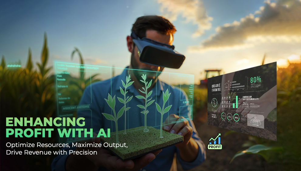
📈 Business and Environmental Benefits
Investing in GIS tools yields measurable returns — not just in yield, but in cost savings, compliance, and sustainability.
✅ For Agribusinesses:
- Monitor large-scale operations in real time
- Reduce input costs through precision targeting
- Improve consistency across supply chains
- Plan logistics and procurement with accurate forecasts
🌱 For Sustainability and Compliance:
- Track input use and land-use change over time
- Generate reports for sustainability certifications
- Meet traceability standards for export and retail markets
- Reduce environmental impact through smarter input use
🔍 Real-World Use Cases
GIS tools are already widely adopted across diverse agricultural settings. Here are a few real-world applications:
- Corporate Sourcing Teams: Use GIS dashboards to track crop status across hundreds of farms supplying raw materials.
- NGOs and Government Programs: Monitor farmer performance in subsidy programs or soil health missions using location-linked data.
- Agritech Startups: Build AI models using GIS layers to predict yield, detect anomalies, and train ML-based advisory systems.
- Exporters and Contract Farming: Maintain detailed, spatially validated records of farm boundaries, practices, and production quality for traceability.
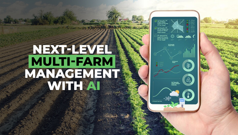
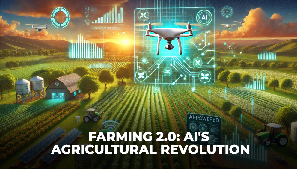
📊 GIS + AI = Next-Level Agriculture
Many modern platforms combine GIS with artificial intelligence and remote sensing to unlock even deeper insights. For example:
- Predict pest outbreaks based on satellite data and past occurrences
- Forecast yield using machine learning models trained on GIS layers
- Detect crop diseases early through thermal imaging or hyperspectral data
This convergence of GIS and AI is making it possible to scale smart farming solutions without needing expensive hardware on the ground.
🌐 The Future Is Spatial, Real-Time, and Scalable
GIS-based agriculture solutions are not just for large corporations anymore. With increasing access to affordable satellite data and cloud-based tools, even mid-sized organizations can implement GIS-powered decision-making across regions.
As climate risks, supply chain pressures, and sustainability mandates grow, spatial intelligence will be at the core of resilient and responsible agriculture.
If you’re not using GIS in your agricultural strategy, you’re missing out on the most efficient way to monitor, plan, and optimize performance — field by field, zone by zone, and season by season.