From Pixels to Produce— AI that Maximizes Harvests
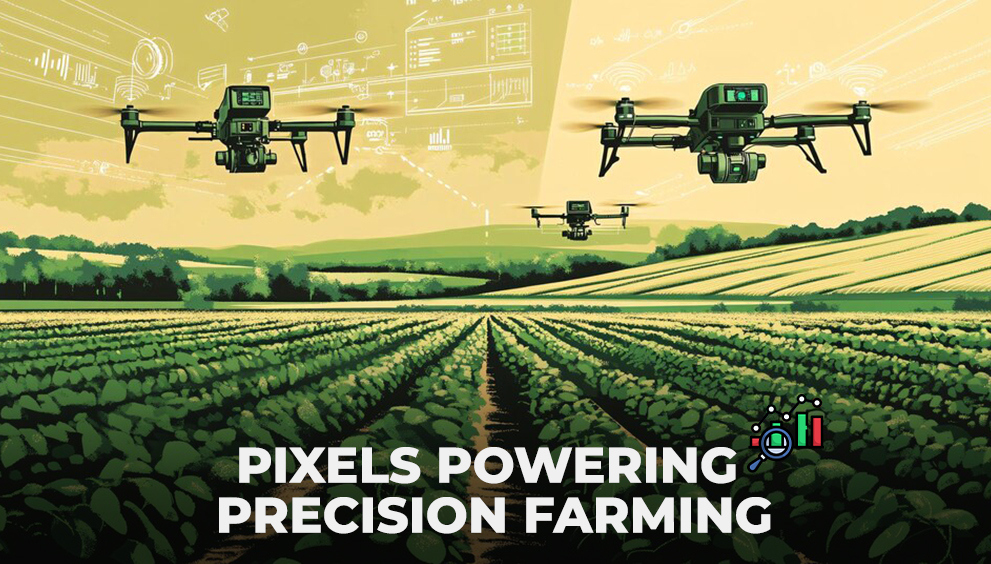
Unveiling the Role of Pixels and Colors in Modern Agriculture
In the world of modern agriculture, the humble pixel isn’t just a tiny dot on your screen—it’s a powerhouse of potential. By harnessing the magic of pixels and colors, farm managers are revolutionizing how land is measured, analyzed, and optimized for productivity. It’s a story of technology meeting tradition, where precision and strategy take center stage to deliver remarkable outcomes.
Pixels: More Than Meets the Eye
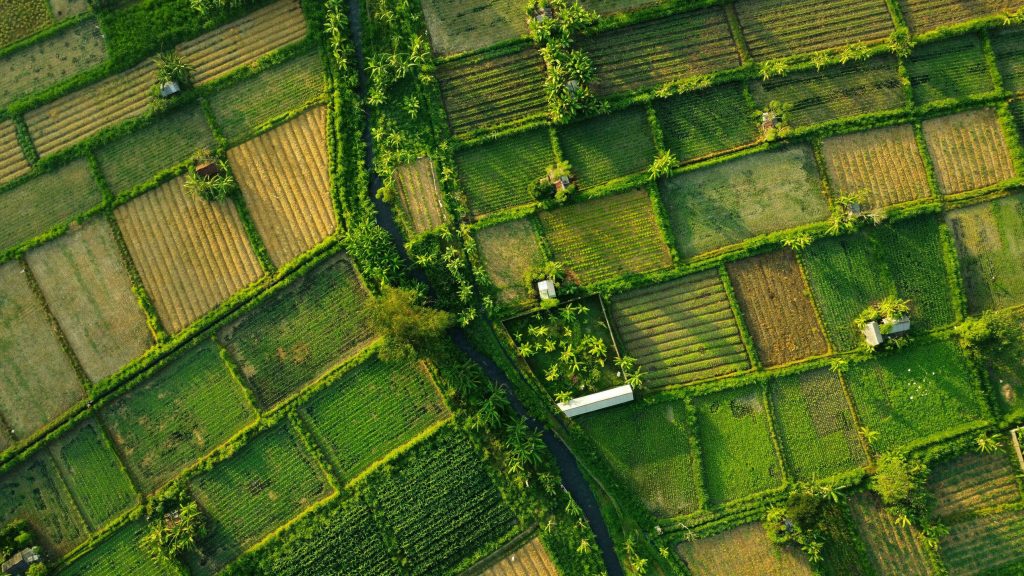
At first glance, a pixel is just a speck of digital light, but in agriculture, it’s a microscopic window into the health and vitality of crops. Each pixel in an aerial or satellite image represents a small piece of your field, carrying valuable information about soil composition, vegetation, and water content.
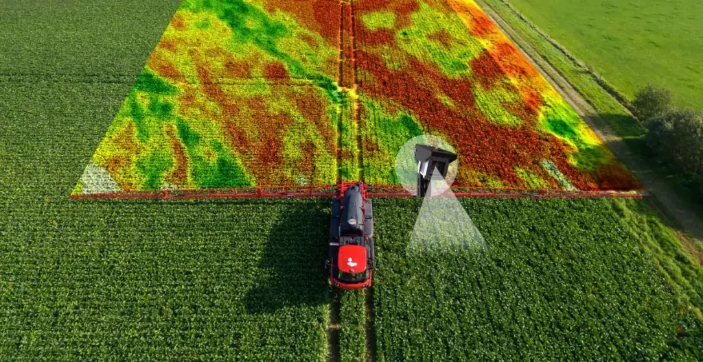
When combined, these pixels form a mosaic—a highly detailed map of your farm. By decoding these images, farm managers can pinpoint areas that need attention, measure field boundaries with pinpoint accuracy, and even monitor subtle changes in crop health over time.
The Power of Precision
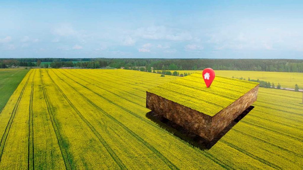
What makes pixels indispensable is their role in precision area calculations. No more relying on ballpark figures or outdated methods. Instead, advanced algorithms take digital imagery and transform it into actionable data.
- Exact Area Measurements: Knowing the precise dimensions of each field or section is crucial for resource planning. Whether you’re planting seeds, applying fertilizers, or scheduling irrigation, precision starts with knowing your canvas.
- Resource Allocation: Accurate measurements ensure that every drop of water and every ounce of fertilizer is used where it’s needed most, reducing waste and boosting efficiency.
- Custom Solutions: Pixels unlock the potential for tailoring strategies to the specific needs of different zones within your farm, maximizing yields across the board.
Colors: The Silent Language of Fields
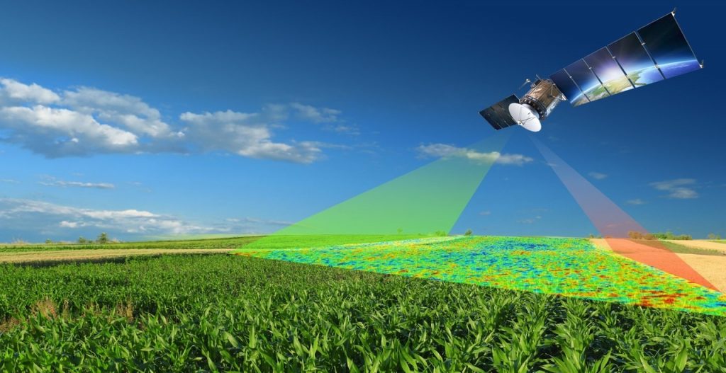
Beyond pixels, colors play a crucial role in deciphering the story of your fields. Satellite images and drone footage reveal variations in color that indicate crop health, soil quality, and even pest infestations.
- NDVI (Normalized Difference Vegetation Index): This tool uses infrared light to measure plant health. Vibrant greens signal thriving crops, while muted tones may indicate trouble zones.
- Thermal Imaging: By analyzing heat signatures, farm managers can detect water stress and optimize irrigation schedules before crops show visible signs of distress.
- Multispectral Imaging: This technique captures a spectrum of light invisible to the naked eye, providing deep insights into nutrient levels and soil conditions.
Bridging the Gap Between Data and Decisions
The beauty of these tools isn’t just their accuracy—it’s their ability to simplify decision-making. Complex data becomes a visual story, where every pixel and hue offers a clue about how to manage your fields. Armed with this knowledge, farm managers can take a proactive approach:
- Preempting Issues: Spotting a slight color shift in a specific zone might mean catching a pest infestation before it spreads.
- Optimizing Inputs: Knowing exactly how much seed, water, or fertilizer is needed eliminates waste and ensures optimal growth conditions.
- Tracking Progress: Over time, color maps and pixel data provide a record of improvements, showing the tangible impact of strategic changes.
The Bigger Picture
This pixel-to-produce revolution isn’t just about precision—it’s about transforming agriculture into a data-driven powerhouse. By turning raw imagery into actionable insights, these tools help agricultural enterprises stay ahead in an industry where every inch of land and every drop of water counts.
As we look to the future, the fusion of pixels, colors, and cutting-edge analytics will continue to elevate agricultural operations. From boosting efficiency to championing sustainability, this approach represents the future of farming—where strategy, science, and technology converge to rewrite the rules of the field.
So next time you see a cluster of pixels on a screen, remember: they’re not just dots. They’re the seeds of innovation, nurturing a smarter and more sustainable agricultural world.






seurobet
18th Nov 2025Seurobet… sounds kinda European, doesn’t it? Anyways, had a quick browse. Fairly standard bookie, nothing that really jumps out, but solid enough. See for yourself: seurobet
777cb
26th Nov 2025777cb Is it fun? I want to pick it up but I’m not sure, haha. Click to start a good time777cb
68win13
04th Dec 2025Heard about 68win13 through a buddy. Thought I’d give it a shot. So far, so good! The interface is easy to navigate, which is a big plus for me. Definitely worth checking out: 68win13
mcgame
04th Dec 2025Yo, heard about mcgame.info. Another one of these gaming sites popping up…anyone tried it out? Is it actually good or just another time-waster? Let me know your thoughts! mcgame
9betgames
04th Dec 20259betgames, eh? Nothing particularly special, but it works. Interface is clean and easy to navigate, and they have a decent range of sports to bet on. If you’re after a simple, reliable betting site, it’s a good choice. Check it out: 9betgames