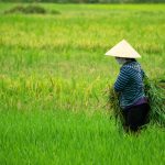


Are Satellites the New Eyes of Agriculture?
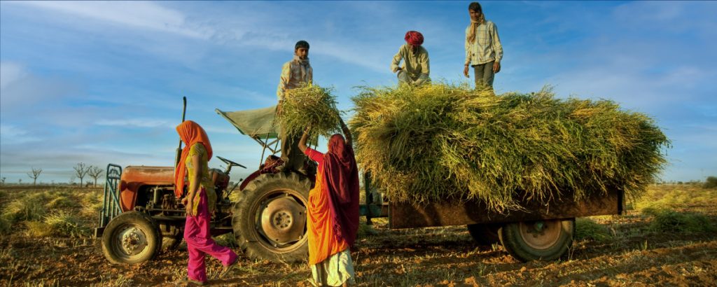
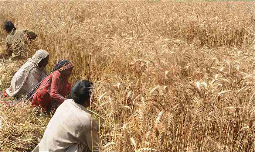
Let’s face it — agriculture has been dragging its feet.
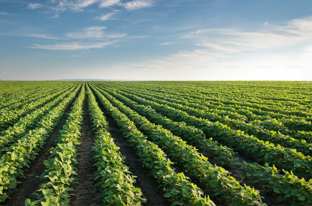
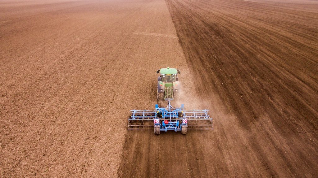
Despite advancements in nearly every industry, large-scale crop monitoring remains stuck in a cycle of outdated field surveys, human error, and painfully slow responses. A disease hits? You notice when it’s already spread. Yield forecasts? Often guesswork wrapped in optimism. Input decisions? Reactive. At best, inconsistent.
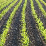
And yet, circling silently overhead, satellites have been collecting data. Massive data. Useful data. Game-changing data. But are we paying attention?
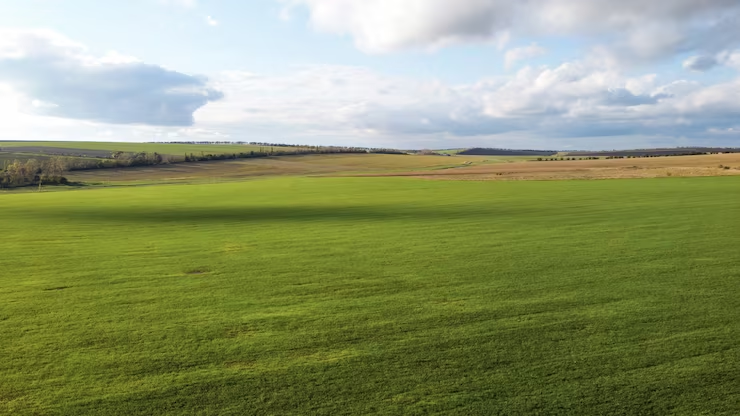
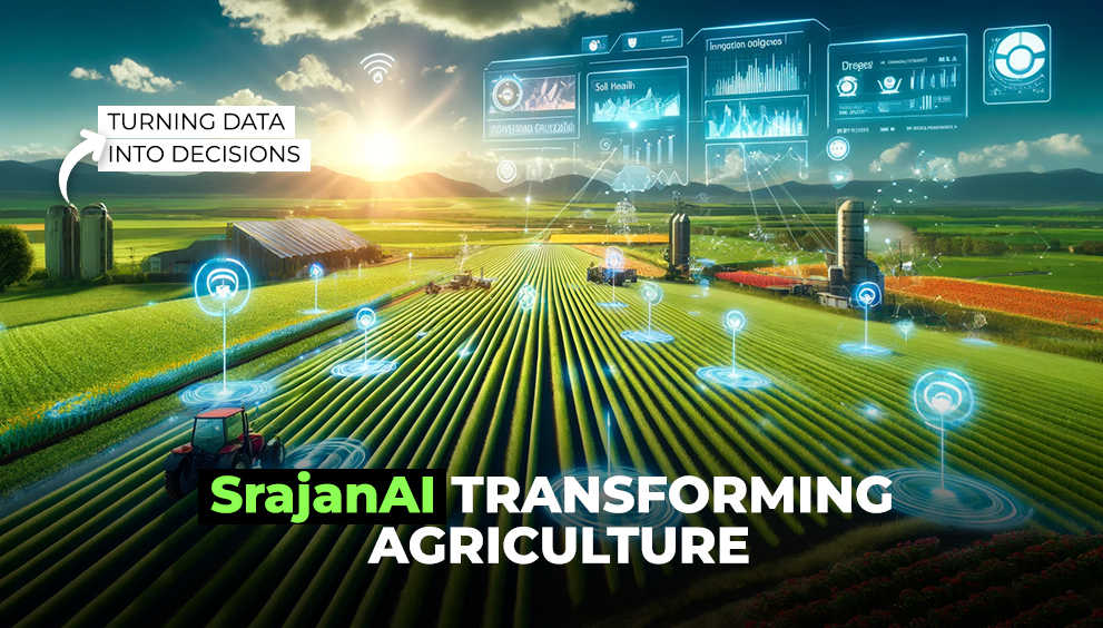
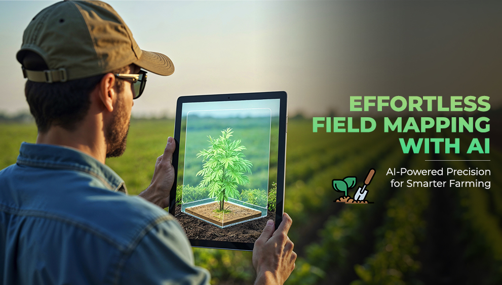
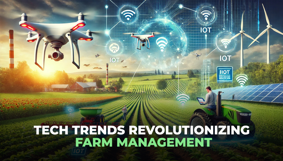
Welcome to the age where satellites are no longer just about weather reports or Google Maps. They’re becoming the new eyes of agriculture — relentless, all-seeing, and frighteningly accurate.
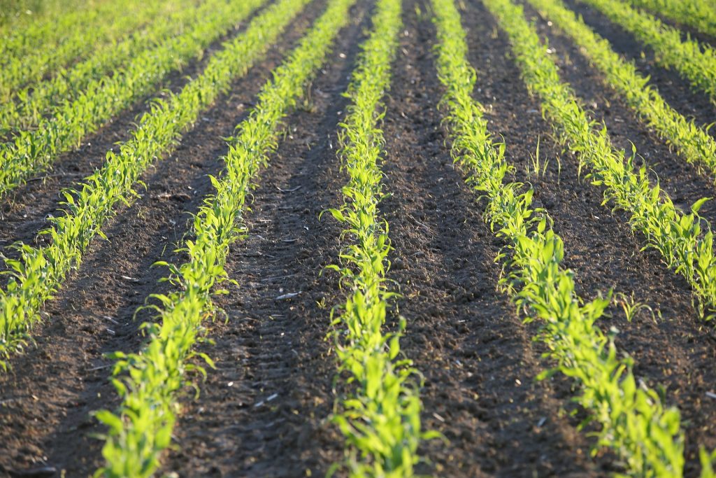
Eyes in the Sky, Intelligence on the Ground
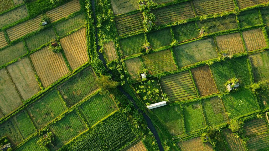
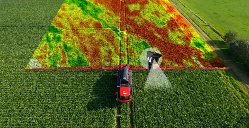
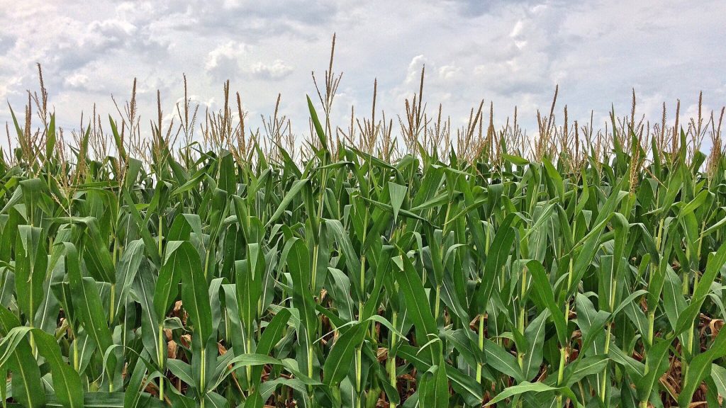
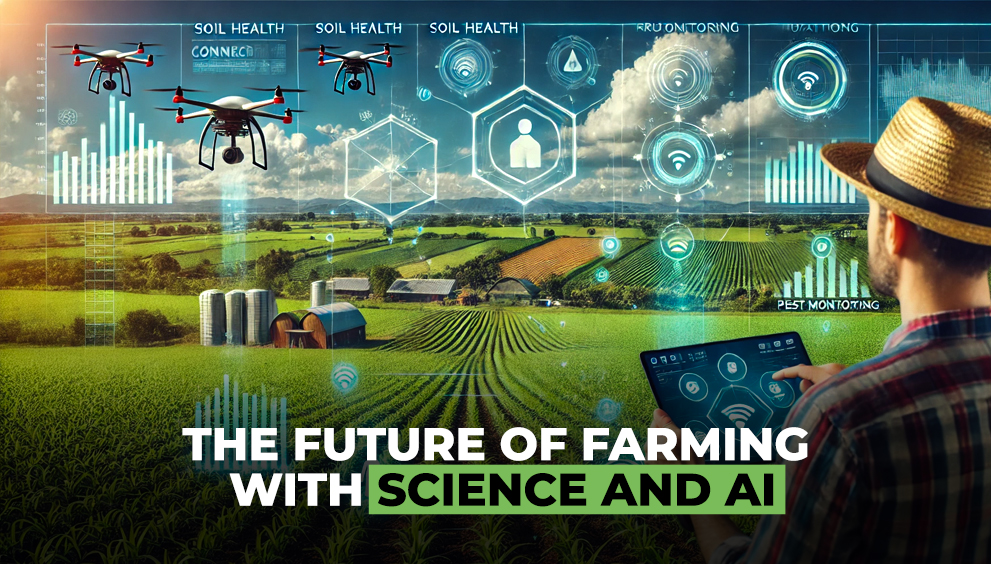
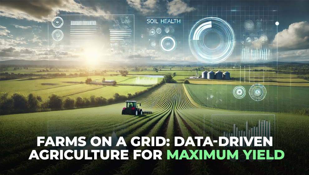
Modern satellites orbit the Earth every few days, capturing high-resolution imagery in multiple spectral bands. They’re not just looking at color or shape — they’re analyzing chlorophyll levels, canopy moisture, growth rates, and signs of stress that even trained field staff can miss.
Through indices like NDVI (Normalized Difference Vegetation Index) and NDRE (Normalized Difference Red Edge), satellites quantify plant health with scientific precision. What used to take a team of agronomists weeks to survey can now be done in minutes from space.
Let that sink in.
But Just How Good Is It?
That’s where the scepticism kicks in. “Can a machine in space really tell me how my crop is doing?” Fair question. But here’s the thing — ground-truthing studies consistently show strong correlation (R² > 0.8) between satellite-derived indices and actual crop conditions like biomass, Leaf Area Index, and yield.
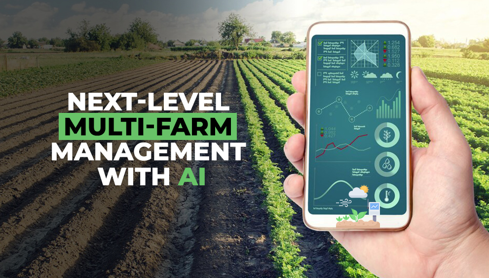
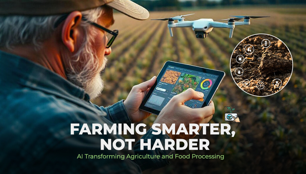
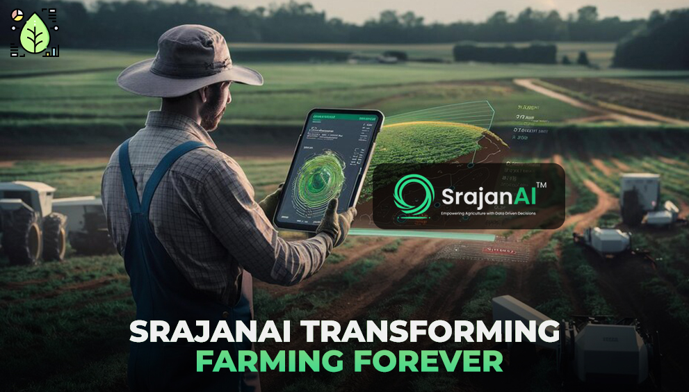
And when that data is fused with on-ground sensors, real-time weather, and AI-driven models — platforms like SrajanAI turn raw images into actionable decisions.
Why Are Satellites a Game Changer?
Here’s where it gets interesting. Let’s break it down:
🔍 What Satellites Can Do for Agriculture:
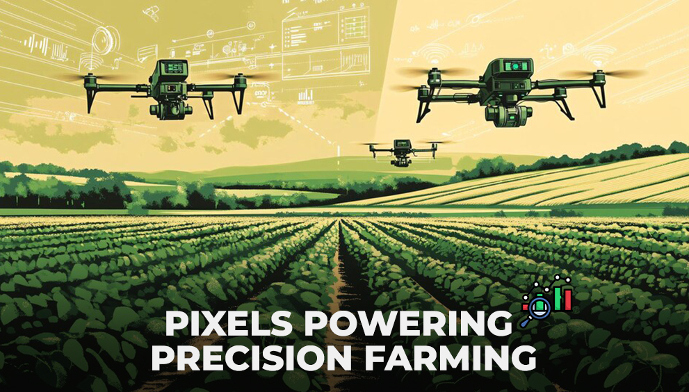
Detect Early Stress: Spot disease, pest infestations, and water stress before they’re visible on the ground.
Monitor Crop Health Continuously: Across large, distributed farms — without needing to physically visit every location.
Enable Precision Decisions: Apply fertilizers or pesticides only where needed, reducing costs and waste.
Forecast Yield with Higher Accuracy: Integrate multi-season trends with predictive models.
Track Regional Risk: Identify areas hit by drought, floods, or heat stress in near real-time.
That’s not just convenience — it’s risk mitigation at scale.
Why Are We Still Guessing?
It’s infuriating. Billions are spent on inputs, yet insights from space — sometimes available for free or at low cost — remain underutilized. In many cases, agribusinesses continue operating reactively, unable to spot the pattern that satellites flagged days ago.
This isn’t a tech problem. It’s a mindset problem.
The tools are here. Satellites are operational. AI platforms are mature. But if agricultural decision-makers continue clinging to intuition over intelligence, we’ll keep solving problems too late, at a higher cost.
It’s Not Either/Or — It’s Both
Let’s be clear: satellites don’t replace agronomists. They empower them. They tell you where to go, what to look for, and when to act. Think of it as a radar system for your crops — giving you the vantage point to act before damage becomes irreversible.
When integrated with platforms like SrajanAI, satellite insights aren’t just visual — they’re diagnostic. SrajanAI uses multi-source data fusion and predictive analytics to anticipate outcomes, not just report them.
Final Thought: Are We Looking Up Yet?
The agriculture industry loves to talk about innovation — but resists real disruption. Meanwhile, satellites continue to quietly monitor millions of hectares, providing signals, alerts, and early warnings with uncanny accuracy.
So ask yourself — when the sky is offering a constant, data-rich stream of intelligence… why are we still staring at spreadsheets?
The future is above us. It sees everything.
The real question isn’t if satellites are the new eyes of agriculture.
It’s why you haven’t opened yours yet.